I have recently written about John Gwynn’s survey of Oxford (1772) in relation to my family tree research (see Lydia Stevens 1734-1822) and have discovered another ancestor in the same survey. Lydia’s father, Samuel Borton was, at the time of her birth, an innkeeper in Mary Magdalen Parish. Lydia married John Stevens in the church of St. Mary Magdalen in 1764, and I wondered therefore whether Samuel Borton would be listed in Gwynn’s survey? Sure enough, in Magdalen parish, close to Balliol College, a Mr. Borton is listed as the owner of a property measuring 15 yards wide.
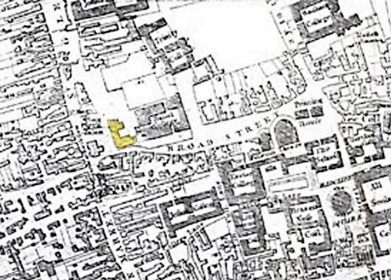
I need to get a copy of H.E. Salter’s Survey of Oxford in 1772 with Maps and Plans to work out where exactly this is (the above extract is from Google books). However, it might be that as we have [Here Broad St.] and given that the length of Balliol College is given as 140 yards (128 metres), that Mr. Borton’s property is on the north side Broad Street. But then Balliol College, west end would seem to be that part of the college shown in yellow below. In which case Mr. Borton’s property would actually be nearer St. Giles.
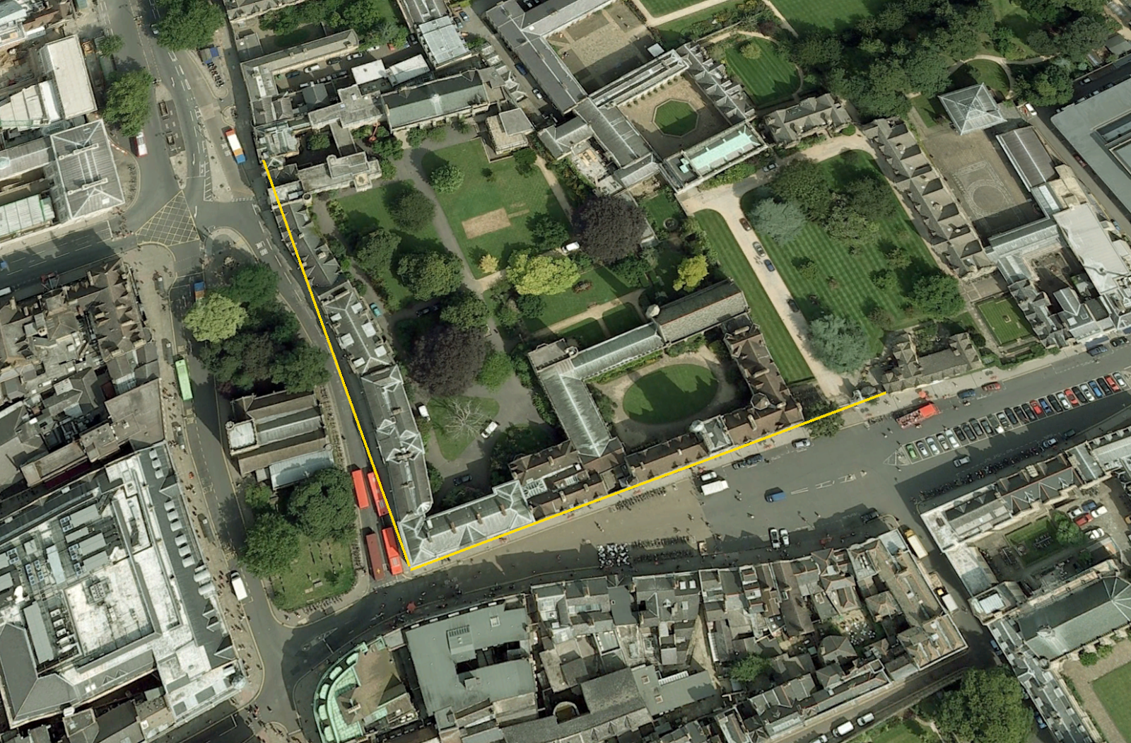
Having looked up Broad Street in Google Earth, I decided to use the measuring tool to see if that would help. The yellow lines are both approximately 140 yards long.
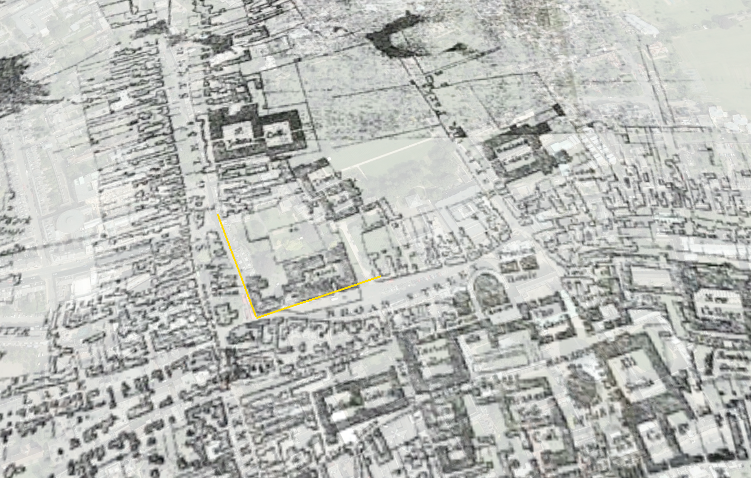
Superimposing the 1750 map above onto Google Earth, we get the following:
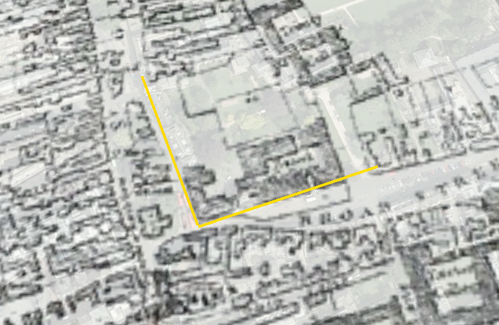
A closer look:


