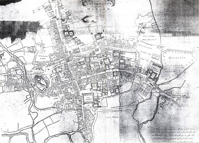
Although this map was made 20 years before the time which I’m researching, it gives nonetheless a good idea as to what the town looked like before the Mileways Act of 1771.
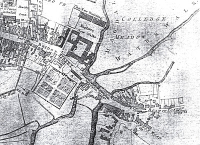
Magadalen Bridge is on the right hand side of the map, a detail of which can be found below.
The Gentleman’s Servant would have taken what’s described as the London Road at the bottom of the image.

