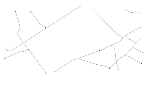
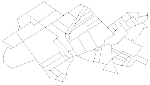
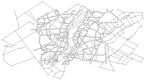
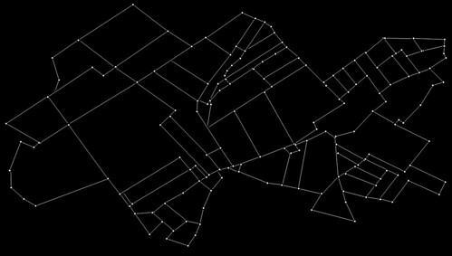
Three patterns will be used for this piece of work: 1) a map of the pre-war road system around Serre, France; 2) a map of the First World War trench system around the same area, and 3) a map of the area’s modern day field boundaries.
A single piece of fabric will be cut, firstly according to the pattern of roads.
This same piece will then be re-cut according to the pattern of trenches.
And finally, this will be cut a third time according to modern day field boundaries.
The final stitched piece of fabric might then look something like this:
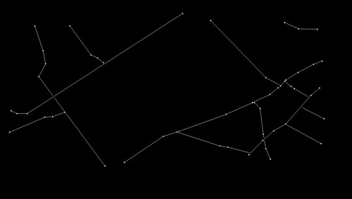
Looking at the images reminded me of star constellations, and so I inverted two of the images to see how they looked.
See Serre Palimpsest.
